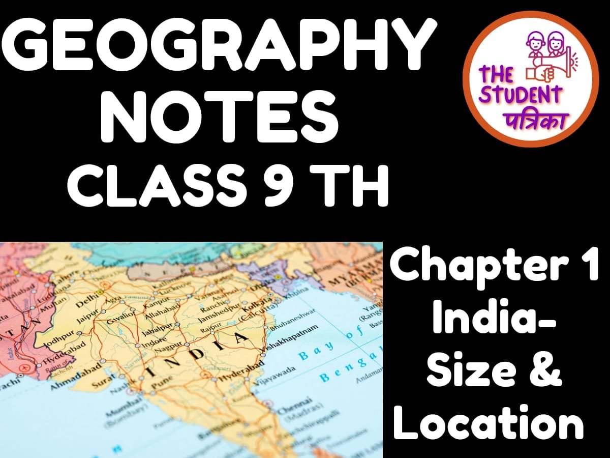
INDIA: SIZE & LOCATION
INTRODUCTION:
India is one of the ancient civilisations in the world.It has moved forward displaying remarkable progress in the field of agriculture, industry, technology and overall economic development.
LOCATION:
India is a vast country lying entirely in the Northern hemisphere the mainland extends between latitudes 8°4'N and 37°6'N and longitudes 68°7'E and 97°25'E.The Tropic of Cancer (23° 30'N) divides the country into almost two equal parts.
SIZE:
The land mass of India has an area of 3.28 million square km.
India’s total area accounts for about 2.4 percent of the total geographical area of the world. India is the seventh largest country in the world.
India has a land boundary of about 15,200 km and the total length of the coastline of the mainland, including Andaman and Nicobar and Lakshadweep, is 7,516.6 km.
Standard Meridian of India (82°30'E) passing through Mirzapur (in Uttar Pradesh) is taken as the standard time for the whole country due to the time lag of 2 hours between Gujarat & Arunachal Pradesh.
North-South distance: 3214 km, West-East distance: 2933 km.
INDIA & THE WORLD:
The Indian landmass has a central location between East and West Asia. India is a southward extension of the Asian continent. The Indian Ocean, which connects the countries of Europe in the West and the countries of East Asia, provides a strategic central location to India.
INDIA’S NEIGHBORS:
India shares its borders with Pakistan (Islamabad) and Afghanistan (Kabul) on the western edge.China (Beijing), Nepal (Kathmandu), Bhutan (Thimphu) on northeastern boundary. Myanmar(Nay Pyi Taw) and Bangladesh (Dhaka) in east, and Sri Lanka (Colombo) in South.
ALSO READ:


